info@wigisug.org
GIS is a dynamic field, and training is essential to acquire in-demand skills to enhance career prospects and opportunities in fields such as agriculture, urban planning, environmental management, and emergency response. By developing spatial analysis and data visualization skills, women can contribute to informed decision-making, problem-solving, and community development. GIS training empowers women to take on leadership roles, drive positive change, and address specific community needs, ultimately benefiting society.
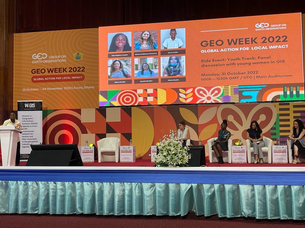
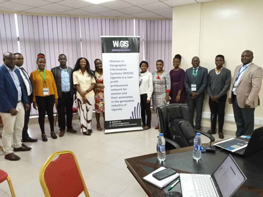
WiGIS Uganda organizes GIS training, especially targeting women in the geospatial sector.


Are you interested in partnering with us to offer trainings in GIS, Remote Sensing, GeoAI or any other Geospatial courses, please contact us on info@wigisuganda.org